
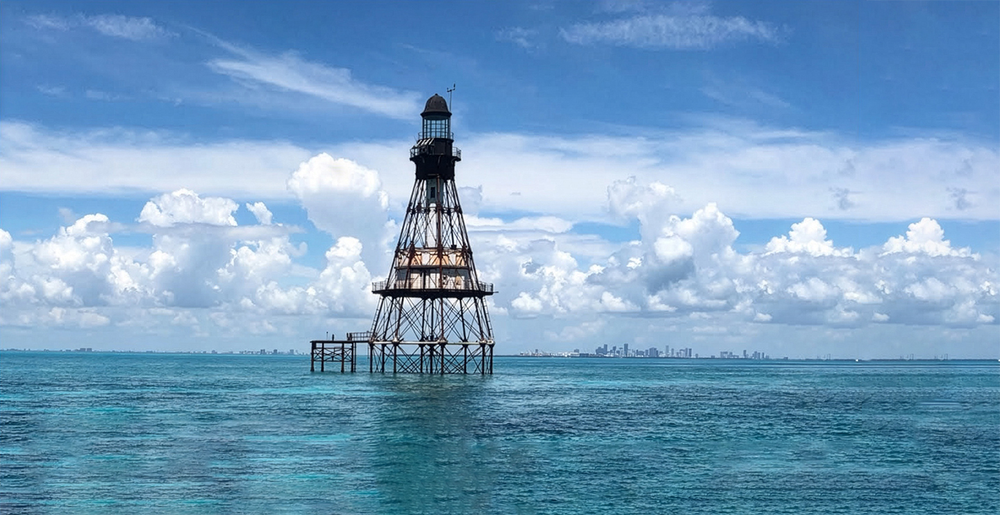

A new partnership between the University of Miami’s Frost Institute for Data Science and Computing (IDSC) and The Nature Conservancy is taking shape around a unique coastal resilience dataset focused on Biscayne Bay.
The project began last year when the University’s Climate Resilience Institute became aware that The Nature Conservancy had extensive parcel-level analysis of a nature-based solution to increase local resilience, including the protective value of mangroves and their stocks of carbon, but no clear public home for publishing or sharing the data.
 Tim Norris (pictured above at Miami XR 2026), who holds a joint role between IDSC and UM Libraries and oversees the University’s data repository, became the natural point of connection.
“This was a data problem,” Norris said. “The Nature Conservancy had invested all this money to create this data and didn’t think about where they were going to publish it, and so we offered to publish it for them.”
What started as a plan to publish a dataset has expanded into a larger effort: an interactive, web-based map and dashboard where users can explore parcels across Biscayne Bay, click on individual properties, and access one-page infographic .pdfs created for each parcel based on the underlying data. Norris sees the approach as a model for translating complex science into something usable. “If we put data in a place where it’s publicly available and easy to discover, and we give it a visualization tool where it’s easy to look at, then we would have a useful tool for decision-making that people would like.”
At its core, the project is about nature-based solutions, using data designed to support investment decision-making around coastal resilience. “It’s about nature-based solutions and investment in building coastal resilience,” Norris said. If enough public, private, and corporate property owners invest in nature-based protections like mangrove restoration, he said, “you could really build up some coastal resilience around Biscayne Bay. This is particularly important because it’s a national park, and there is a lot of government property along the Bay, including a nuclear reactor, worth protecting.”
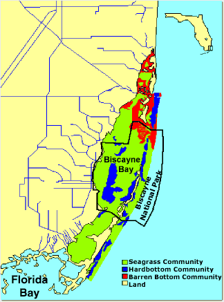 The dataset weaves together multiple layers of information including parcel boundaries, high-resolution elevation data, and reef mapping, alongside land-use and other contextual information. Some of the elevation data comes from LiDAR. “You fly an airplane over an area with a laser, and it does very high-resolution elevation measurements,” Norris explained.
Coastal resilience technology company Natrx then matched those elevation measurements to individual parcels and analyzed the combined contextual layers to estimate project costs, potential storm protection value, and carbon-related metrics.
The intended audience spans far beyond individual homeowners. Users could include municipalities, counties, corporate stakeholders, and state and federal land managers from local resilience offices. “One of the things my career centers on is using maps as a connector between property owners and government agencies to seek sustainable and resilient futures,” Norris added.
“It’s something that could be valuable for not just Biscayne Bay but for much of Florida’s coast.”
In the short term, the plan is to publish the dataset through the University Libraries in the institutional repository at scholarship.miami.edu/esploro so it is publicly discoverable and downloadable. The IDSC team will then develop the interactive portal that brings the map and parcel-level infographics to life.
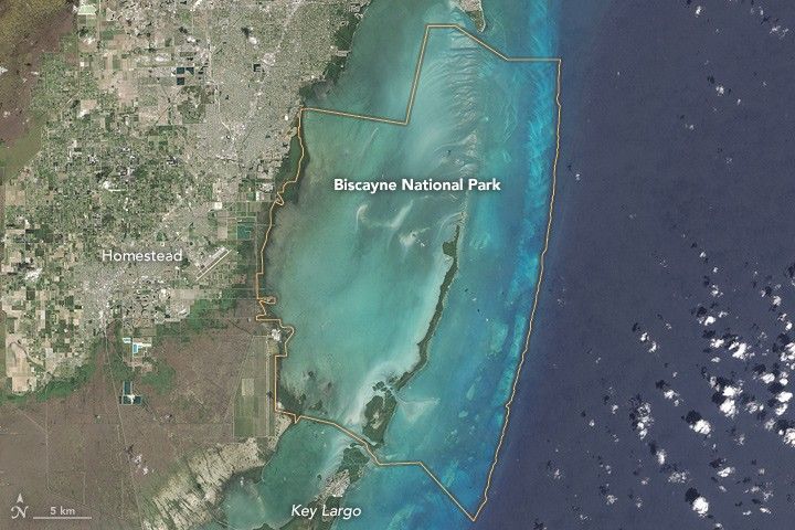 The longer-term potential is scale. “Maybe we could get some financial support to continue updating it and perhaps build it out along the entire coast,” Norris said. “It’s something that could be valuable for not just Biscayne Bay but for much of Florida’s coast. There are a lot of people talking right now about how we can improve coastal resilience in South Florida. They have this prototype. How can we take it to scale? How can we get governments interested in it, everyone from local municipalities to counties, to states, to even the federal government?”
More broadly, the initiative reflects a public-good push to preserve and publish third-party datasets amid growing urgency to translate environmental and resilience science into tools that decision-makers can actually use. “Making this data repository is unique, and this is how we build knowledge and create new things,” Norris said. “What’s cool for me is the idea that we’re starting to take third-party data and evaluate if it’s high enough value to share the investment on making it broadly available. It’s an interesting partnership and it’s exciting to be working with an external organization.”

__________
Story by Lauren Comander | Header Photo “Fowey Rocks to Stiltsville“